There's been a few requests for source code of Multilevel Geomipmapping terrain rendering. So I'm doing this now, finally. It has not been touched since 2008 but it compiles fine in current version of Lazarus. I tested it in Windows only but in 2008 it had run in Linux and FreeBSD as well. Unfortunately, not all the test terrain data could be included because of their massive size.
You can find more info in included Readme and previously linked article. Note: release archive is in 7z format to get smaller download size.
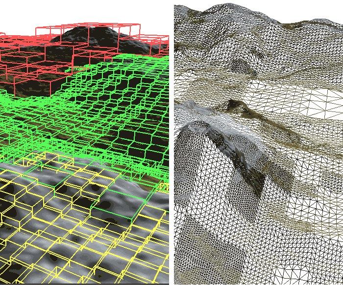
 Multilevel Geomipmapping
» 92.1 MiB - 97,639 hits - May 5, 2014
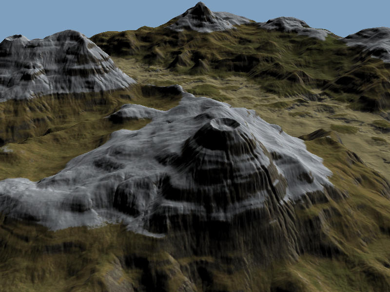
Terrain renderer using OpenGL. Includes Object Pascal source code, binaries, and test data.